
Ready for next-generation ecological mapping, ecoststem service measurement and topography? Spectral Ecology can help enable environmental managers, companies and organisations to make sound environmental decisions and maximise benefits to both humans and nature.
UNDERSTANDING ECOLOGY
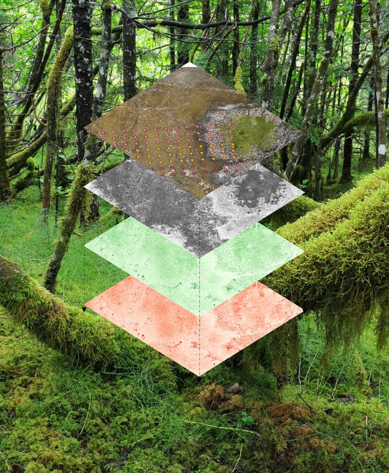
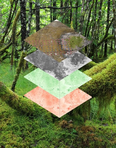
INTEGRATED SOLUTIONS
HABITAT MAPPING
ECOSYSTEM SERVICES
ENVIRONMENTAL
A NEW ERA FOR ECOLOGY
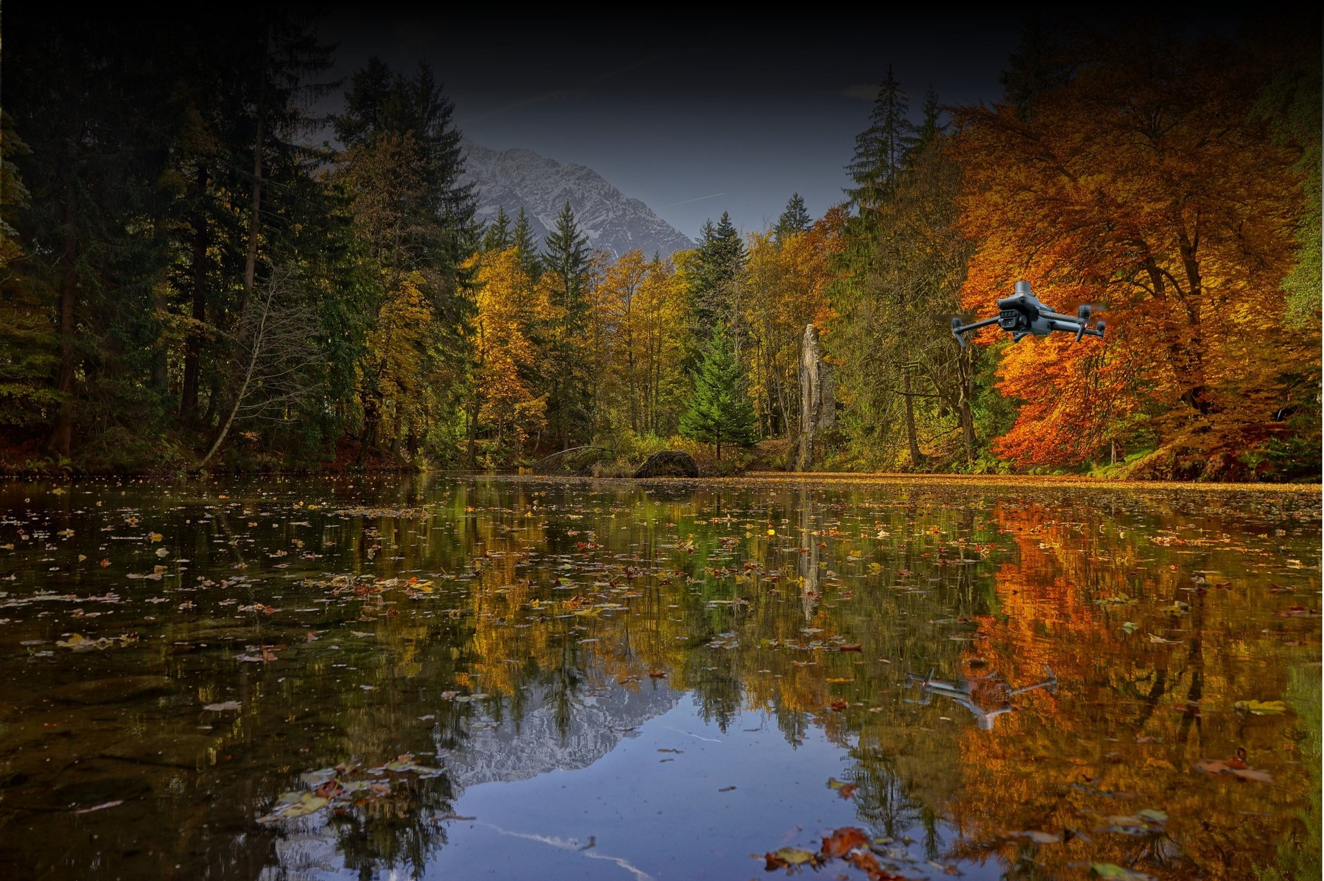
Large scale. High Resolution. Cost Effective. Three things that do not go together in ecological mapping. Until now.
Using the latest UAVs, Satellites, and with over a decade of experience developing cutting edge spectral ecological mapping and measuring environmental data, we can map individual species, whole habitats, or track the spread of invasive species, for a fraction of the price of traditional consultancies.
We work across Wales, South-West England, and nationally.
ABOUT US
Spectral Ecology was founded with the goal of bringing cutting edge ecology, modelling and mapping - at small scales to whole landscapes - from the research world to our clients across the UK, while applying the principles of academic rigor to everything we do.
From mapping habitats for Phase Two assessments and monitoring and mapping the spread of invasive species, assessing crop health, through to identifying and mapping ecosystem services, Spectral Ecology has you covered.
Using high-resolution multispectral UAVs (Drones), satellite hyperspectral imagery, environmental properties, and advanced models we can map habitats, species, and ecosystem services at high resolutions across unprecedented scales - all for far lower costs than traditional surveying alone.
What’s more, we offer bespoke nature based solutions advice for flood mitigation which extend beyond asset protection and are world leading, as well as topographic mapping, multispectral mapping and LiDAR and photogrammetric surveys.
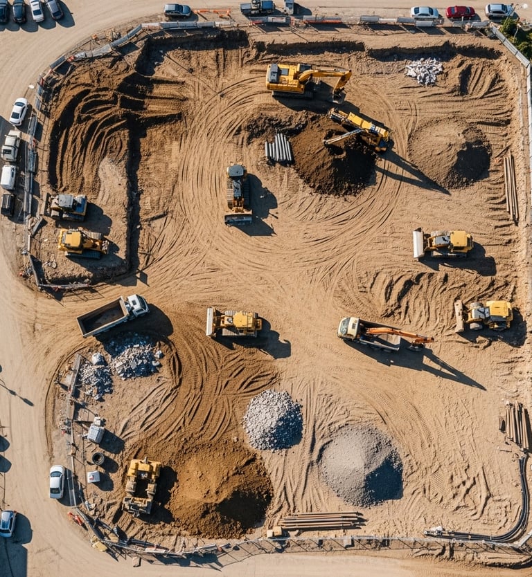
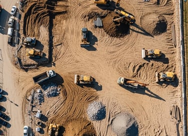
MAPPING FOR CONSTRUCTION
As well as ecological mapping, we offer high resolution topographic mapping and photographic site models, providing visual maps for site progress monitoring, stockpile and earth volume assessments, and also mapping tree biomass and lumber tonnage to inform land clearance logistics prior to work commensing - saving you time and money.
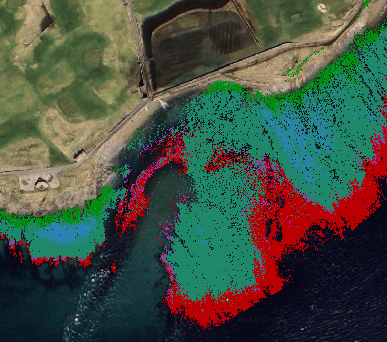
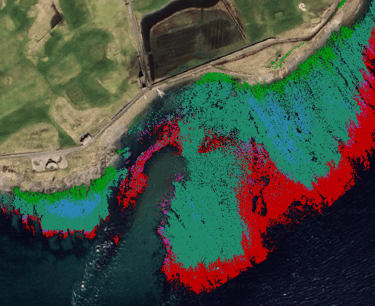
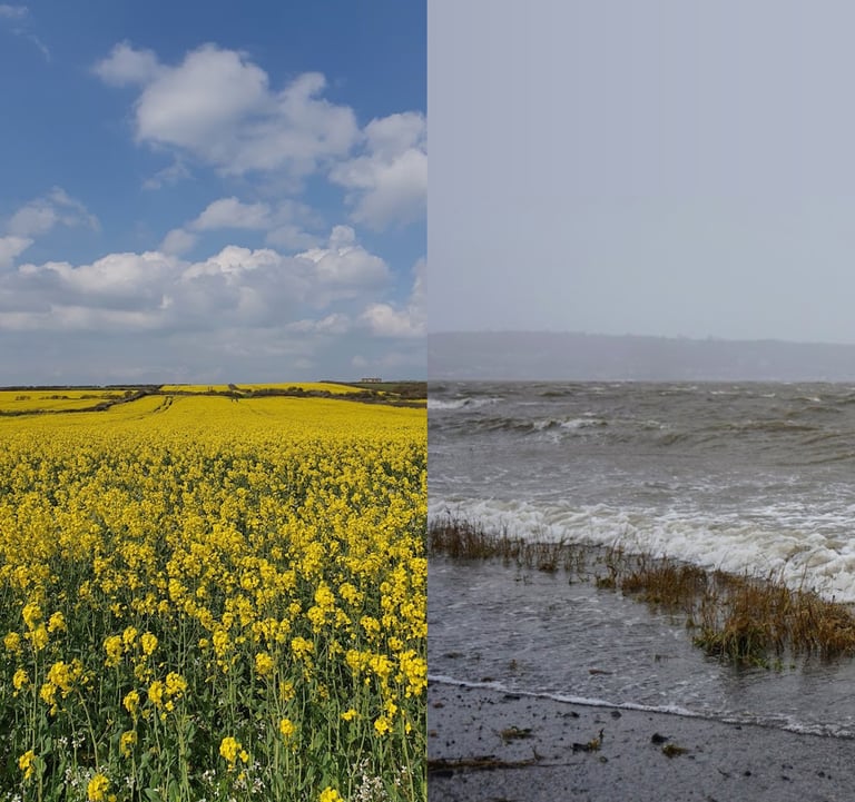
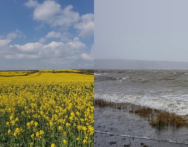
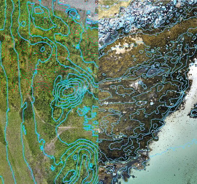
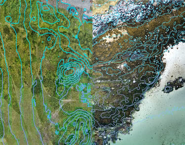
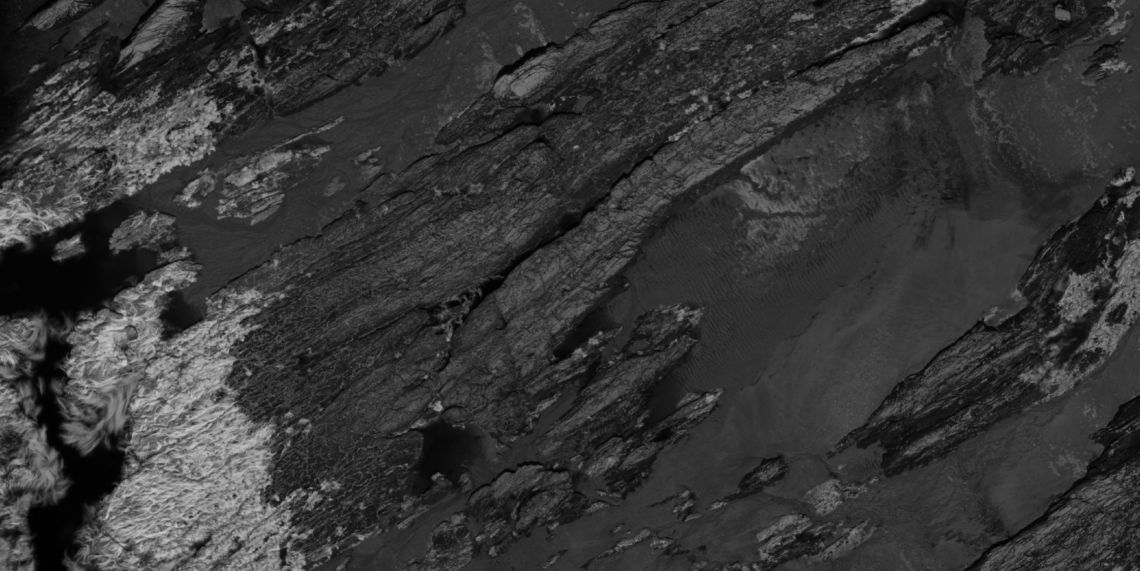
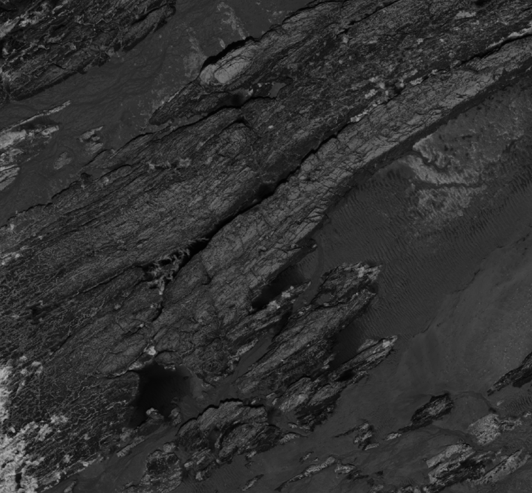
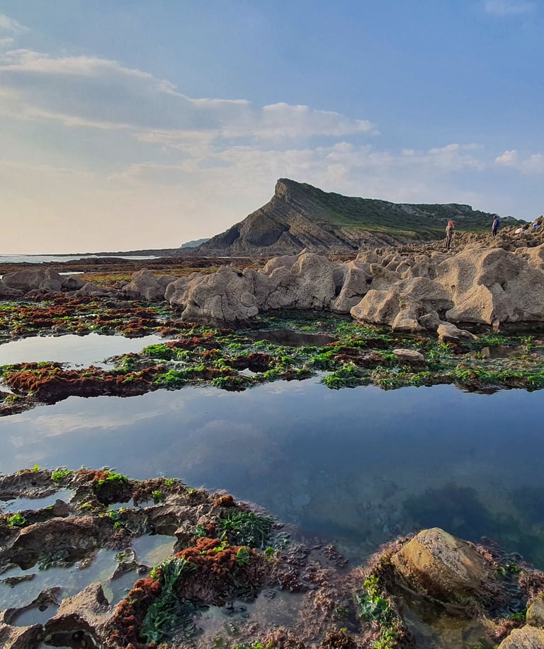
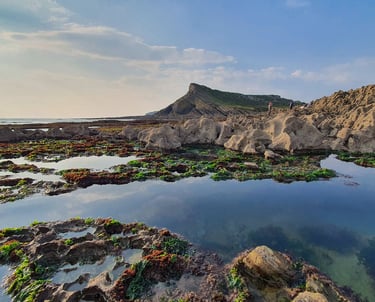
MAPPING THE MARINE
Our marine ecologists are experts in mapping underwater life. At Spectral Ecology, we specialize in detailed mapping of coastal and intertidal areas. Whether you need to map seaweed, reefs, or understand how these areas store nutrients, absorb carbon, or estimate their total biomass, we can help.
Using unique spectral techniques and sophisticated modelling we can assess biodiversity and ecosystem service values for large-scale coastal areas. This means you get insights faster, more affordably, and with much greater accuracy than old-fashioned survey methods.
If you need to track changes over time, assess seaweed for harvesting, or identify marine communities for biodiversity reports, we have the tools and expertise you need to make informed, timely decisions. Contact us to see what we can do for you.
SUBSCRIBE
Subscribe to our newsletter to always be the first to hear about new services, insights and get the inside scoop on revolutionary ecology.