

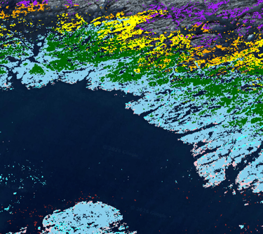
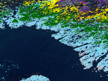
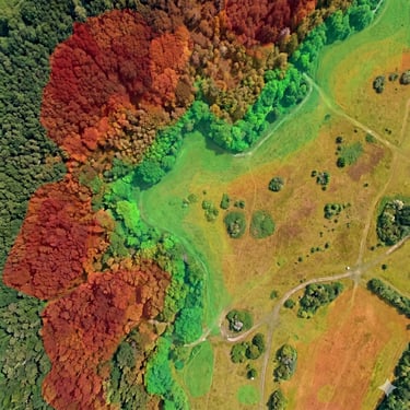
Spectral Species Mapping
Go beyond the visible spectrum with our advanced UAV-derived multispectral and hyperspectral mapping. By analyzing unique plant spectral signatures with our proprietary machine learning models, we deliver continuous, ultra-high-resolution species classification across landscape-scale habitats.
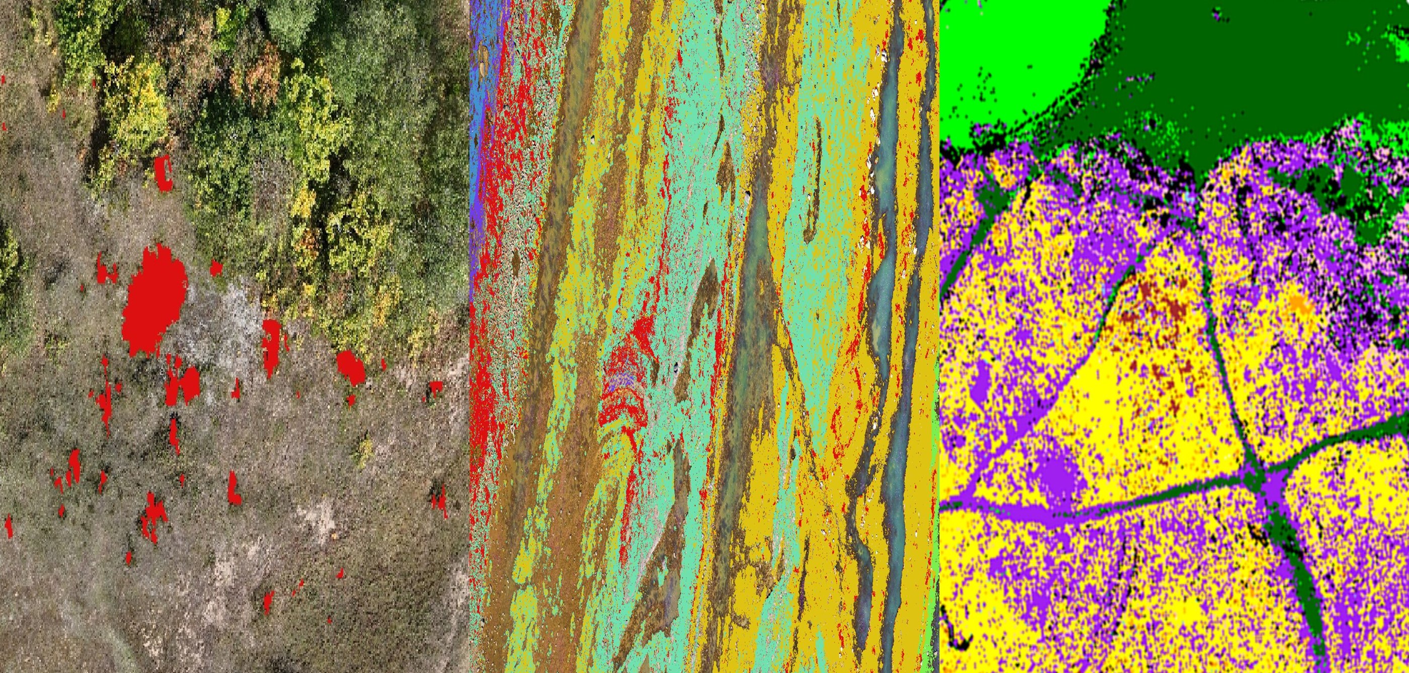
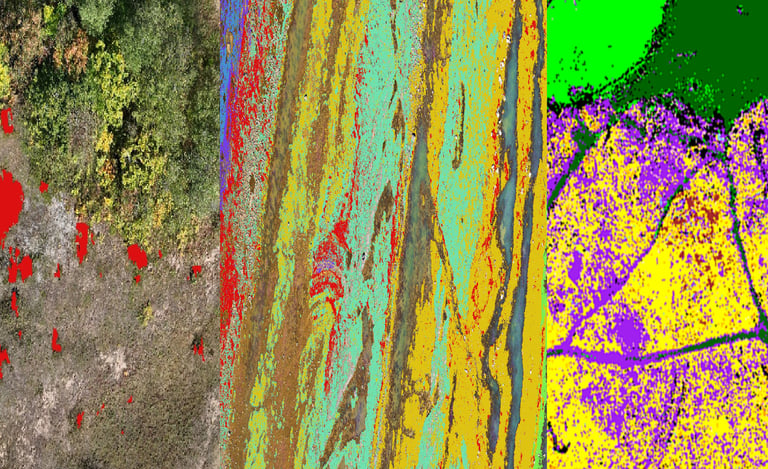
Our platform delivers high-precision species classification designed to meet the rigorous demands of modern environmental mapping, management and monitoring projects. By leveraging world-leading advanced spectral data, we move beyond basic vegetation indices to identify specific flora and habitat types with unmatched accuracy, even at landscape scales.
Whether you are managing a protected site or conducting a large-scale environmental impact assessment, our species-level insights provide the clarity needed for informed, data-driven management or conservation. We turn complex imagery into actionable ecological intelligence, ensuring you can track, protect, and restore our natural world with confidence.
Advanced Species Classification & Ecological Mapping
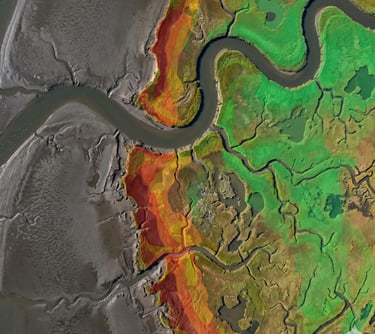
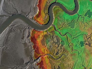
Accurately quantify diversity at landscape scales, and map distribution to evaluate ecosystem health, connectivity and fragmentation to optimise infrastructure and project designs
Generate comprehensive maps of entire plant communities to understand complex landscape dynamics, or support Ecological assessments across large sites
Monitor subtle shifts in habitat composition over time, providing the data necessary to measure the success of restoration projects or the impacts of climate change
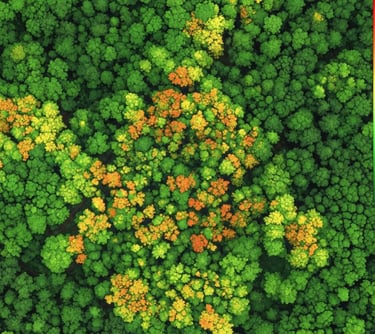
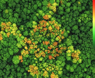
Identify, monitor and map plant health issues - from nutrient stresses to disease and pest onset, or even simply to understand the overall health of your system
Whether you are looking to map a single species of interest, species that make up your whole communities, or identify plant stresses and diseases, we can help you to:
Looking for invasive species (INNS)? Find out more here: INNS Mapping


Bespoke Research
Have a particular problem you need to solve? With decades of experience in cutting-edge ecological research, our team can help you achieve your goals. Whether establishing the credentials of your new eco-engineering solution by monitoring effects on biodiversity and ecosystem functions/services, or creating a new platform for monitoring invasive species, we have the tools and the expertise to make it work.


Spectral Ecology Limited - Registered in England and Wales: 16386647 VAT Number: 496380548 Email: tom.fairchild@spectralecology.com © Spectral Ecology limited (2026)