
Our Services
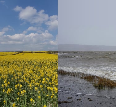
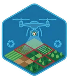
Mapping habitats or even individual species at whole landscape scale has never been more accessible. Whether identifying invasive plant species or mapping forestry trees for small or 100+ hectare sites, we use world-beating modelling and mapping methods to classify species quickly, with unprecedented accuracy and coverage.
Go beyond species and habitats, and understand the ecological importance and human value of natural systems. From pollination to carbon content - and even plant stress detection for agriculture and forestry - our advanced modelling capabilities put us ahead of the pack, helping you manage risks and benefits more effectively
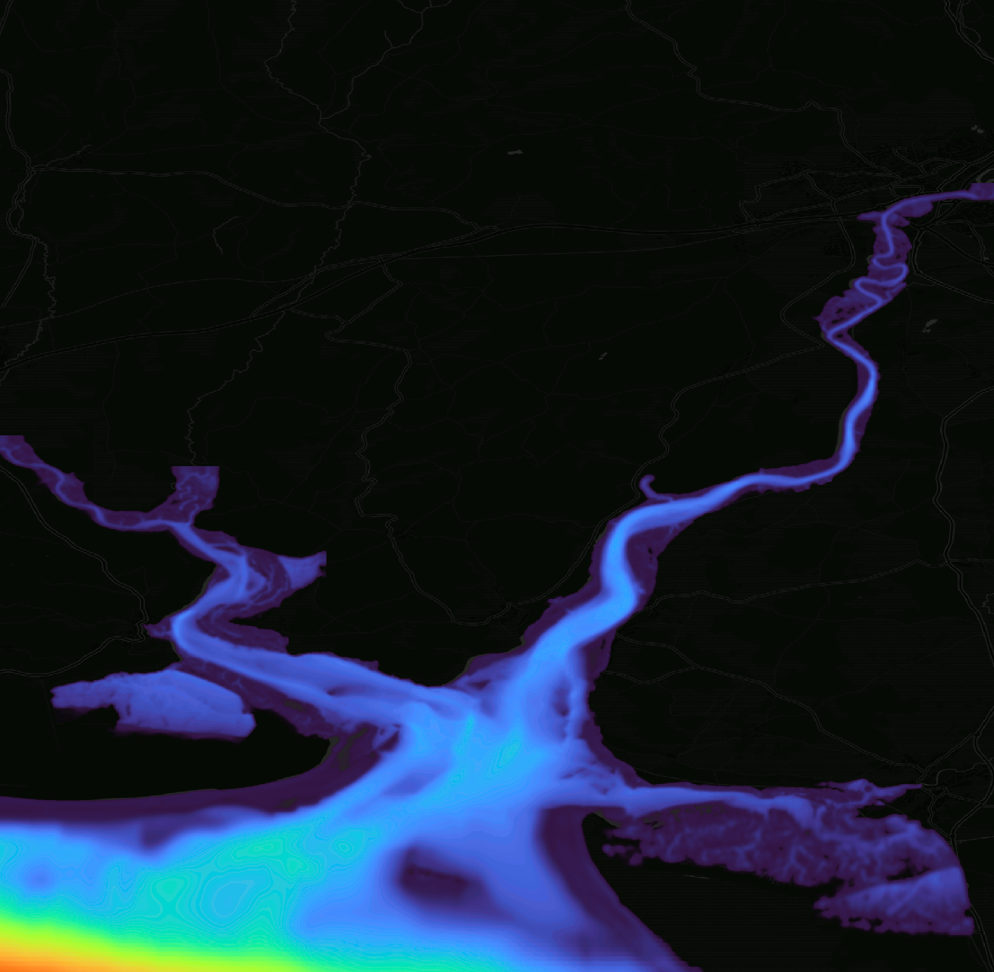
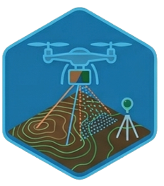
We are experts in geospatial mapping. Using state-of-the-art LiDAR scanning, precision GNSS GPS systems and survey-grade total-station hardware to collect robust, accurate data. Whether you need site topography or bathymetries, or spatial pollution mapping, we can provide solutions to even the most challenging problem.
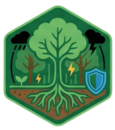
Nature-based solutions to human problems like flooding aren't trendy. They are essential for protecting infrastructure and lives against extreme climate and biological risks. We have decades of experience working with natural systems to provide tangible human benefits and protect against change in a world increasingly full of risks.
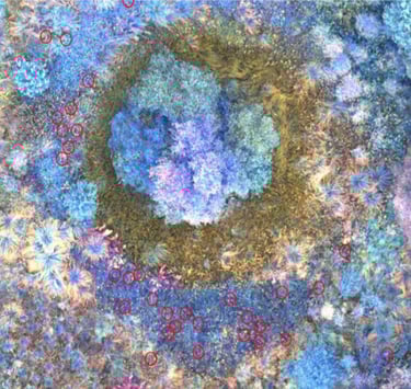
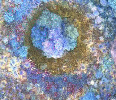

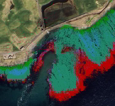
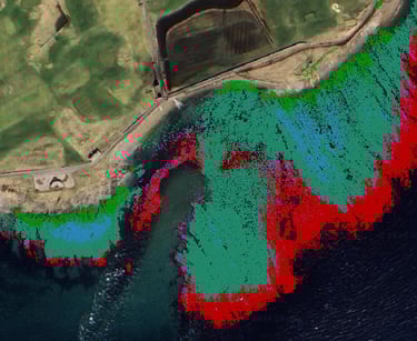
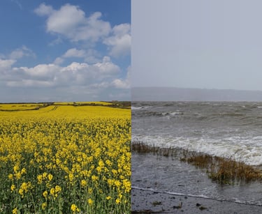
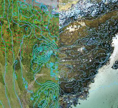
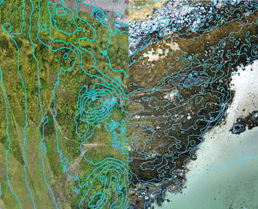
Managing invasive species requires pinpoint accuracy. We deploy advanced UAVs equipped with hyperspectral sensors to detect hidden INNS across complex terrain. From knotweed to floating pennywort, our proprietary spectral models isolate individual plants at 5cm resolution, delivering the rapid, reliable data you need.
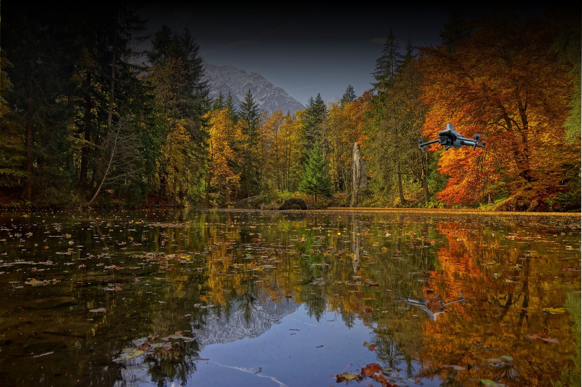
Whether documenting historic heritage sites, tracking construction progress, or gathering promotional assets, you need more than standard photos. Our UAV pilots combine artistic vision with spatial data science, capturing breathtaking 4K HDR imagery alongside centimetre-accurate, calibrated data for robust 3D reconstructions.


SUBSCRIBE
Subscribe to our newsletter to always be the first to hear about new services, insights and get the inside scoop on revolutionary ecology.


Spectral Ecology Limited - Registered in England and Wales: 16386647 VAT Number: 496380548 Email: tom.fairchild@spectralecology.com © Spectral Ecology limited (2026)